Brief about Gilgit Baltistan
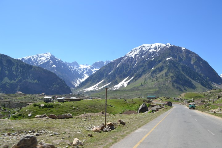
The Gilgit-Baltistan region of Pakistan, once known as the Northern Areas, is located to the north of the country bordering China to the northeast. Located at the junction of four famous mountain ranges – the Himalayas, the Karakorams, the Hindukush, and the Pamirs – Gilgit-Baltistan is renowned for its mighty mountains and longest glaciers. It is always a favourite destination for mountaineers, climbers, trekkers, hikers, and holidaymakers.
Gilgit is the capital and headquarters of the region, located at 1500 metres above sea level. This region is the crossroads of the Karakoram Highway, which runs between Pakistan and China for 887 km before meeting the Chinese portion at Khunjerab pass, the highest metalled border in the world.
The highest five mountains in the world – K2, Broad Peak, Gasherbrum-I, Gasherbrum-II, and Nanga Parbat. Additionally, Gilgit-Baltistan has four of the world’s longest glaciers: Batura, Biafo, Baltoro, and Siachen.
Karakoram Range has scores of summits over 7,000 metre and hundreds below 6,000 metre mere points on a map. Furthermore, the region is well known for its four distinct seasons and colourful contrasts, as well as its charming history.